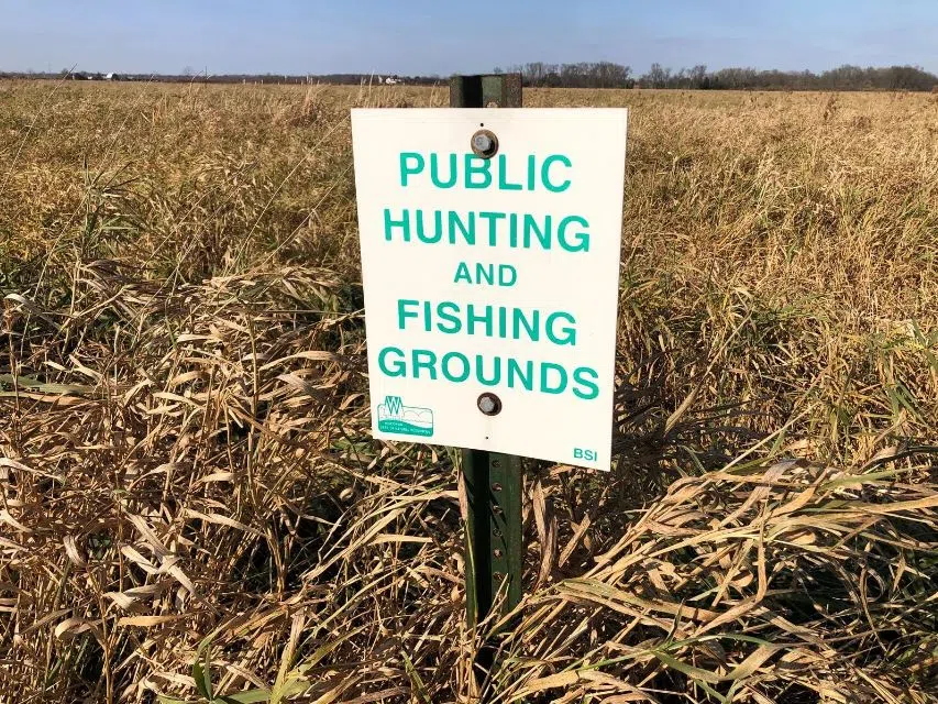
Public hunting grounds in Winnebago County, November 4, 2021. PC: Fox 11 Online
(WTAQ-WLUK) — Are you looking for a place to hunt, but don’t have your own land?
The Wisconsin Department of Natural Resources has launched a new online tool for finding public-access lands.
The interactive map includes places such as natural areas, lakeshores, rivers, state parks and county forests. Lands are available for hiking, hunting, fishing and other activities.
“The updated Public Access Lands map app has been simplified with an uncluttered screen and easy-to-use tools,” Ann Scott, DNR real estate land records officer, said in a news release. “Click on the screen to open links to find information on DNR properties, public access, open private lands for hunting and other helpful features to find the perfect getaway.”
The website has up-to-date property information, including maps, restricted areas and links to relevant websites. Searches can be done by activity.
The tool shows parking areas and boat access sites.
The website is optimized for desktop/laptop computers as well as mobile devices.


Comments